Pennine Weather Explained: How to Read Forecasts Before You Walk
The Pennines rarely get the drama of Snowdonia or the scale of the Highlands, which is exactly why so many people underestimate them. A morning on Kinder Scout can begin in warm sunshine above Edale and end in thick cloud, sideways drizzle and a wind that takes the words out of your mouth. Learn to read a hill forecast properly and most of that stops being a surprise.
What Makes Pennine Weather Its Own Thing
The chain runs from the Peak District up to the Tyne Gap, with the North Pennines — Cross Fell, Great Dun Fell, the high moors around Alston — forming the loftiest and wettest stretch. Two forces shape almost everything above.
First, the Atlantic. Weather systems arrive from the west, making landfall over Lancashire and Cumbria before they reach the hills. As that air is forced up the western slopes it cools, moisture condenses, and rain falls. By the time the same air crosses to Sheffield, York or Durham, a good deal of the water has already been wrung out. The rain shadow is real: the upper Calder and the moors above Rochdale can be soaked while places fifteen miles east stay merely damp.
Second, altitude. Air cools as it rises, losing close to a degree for every 100 metres of climbing on a typical day. Edale might sit at a pleasant 15°C while the Kinder plateau, several hundred metres higher, is in single figures with a breeze. On a still valley morning, the tops are already in a different season.
Read the Hill Forecast, Not the Town Forecast
Checking the weather for the nearest town is a reasonable first move and a poor last one. Town forecasts describe sheltered places at low altitude — where you will spend roughly the first twenty minutes of your day. Mountain forecasts from the Met Office and MWIS (Mountain Weather Information Service) cover the Peak District, Yorkshire Dales and North Pennines specifically, and they speak a slightly different language.
Cloud base and the "summits" line
Look for a cloud base figure in metres, plus phrases such as "cloud free summits likely" or "extensive hill fog above 500 m". Take them literally. If the cloud base is below the height of your highest point, plan on navigating, not just strolling.
Wind speed and direction
Summit wind speeds are the numbers that decide whether a route is enjoyable or grim, and gusts matter more than averages. A south-westerly of 30 mph on the plateau is a full-body lean; add gusts and the same walk becomes a wrestling match. Direction tells you where shelter exists — lee slopes, cloughs, the east side of a ridge.
Rain: probability versus amount
A 60% chance of rain does not mean you will be wet for 60% of the walk. It means rain is likely somewhere in the forecast area during that period. The more useful signals are the words attached to it: light drizzle, persistent, heavy showers. "80% chance of heavy rain with hill fog" and "60% chance of isolated showers" are entirely different days on the hill.
Hill Fog: The Pennine Speciality
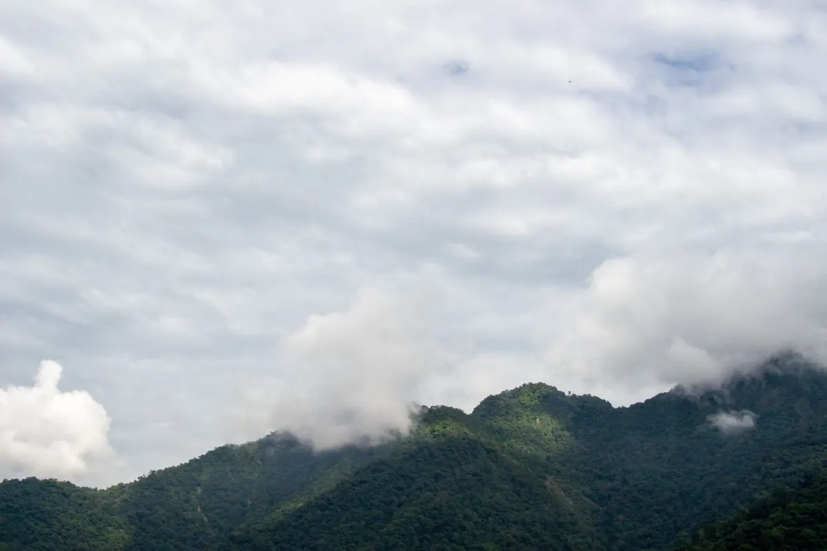
Hill fog is cloud sitting on the ground, and the Pennines manufacture it efficiently. Moist air from the west is lifted over the moors, cools, and condenses into a grey ceiling that can sit there for days while the valleys below are bright and clear.
This matters because fog strips away the two things you rely on most: visibility and landmarks. Grouse butts, shooting tracks and peat groughs all look alike in a whiteout, and a compass bearing taken from a vague position is worse than useless. If the forecast mentions hill fog, carry a paper map and compass you can actually use, know your escape routes down into the valleys, and be honest about whether your navigation is good enough. GPS helps, but batteries die in the cold — treat it as a backup, not a plan.
Wind Chill: Why the Summit Feels Colder Than It Reads
Wind chill is not a temperature; it describes how fast exposed skin loses heat. The effect is brutal and non-linear. A moderate 5°C on the tops with a 40 mph wind can feel a couple of degrees below freezing, which is why people in thin summer trousers end up shivering on a day that looked mild on the phone.
Three practical responses:
- Dress for the wind, not the temperature. A windproof shell over a warm mid-layer does more than three extra fleeces.
- Cover extremities. Hat, gloves and a buff live in your pack year-round, not just in January.
- Eat and drink before you feel cold. Fatigue and dehydration make you far more vulnerable to the chill.
If you are shivering and can't stop, that is a signal to get out of the wind, add layers and consider turning back. Cold that you cannot shake off is not something to walk through.
Where the Rain Falls, and When
The west–east split
Assume the western Pennines — the moors above Manchester, the Forest of Bowland fringes, the Alston area — will see more rain than the eastern side. If you have flexibility, an eastern route on a wet westerly day is often the smarter choice.
Fronts versus showers
Frontal rain from an Atlantic low tends to be steady, widespread and long-lasting, often with low cloud and poor visibility. Showers are shorter, sharper and often clear to give bright spells and superb views in between. Spring and early summer bring convective showers that build through the afternoon, so an early start genuinely pays.
Timing
Rain rarely falls evenly across a day. Look at the hourly breakdown rather than the daily summary; a dry window from 9am to 2pm is worth planning a route around.
A Ten-Minute Forecast Routine
- Check the mountain forecast for your area, not the town forecast.
- Note the cloud base, summit wind speed and gusts, and the freezing level.
- Subtract roughly a degree per 100 metres from the valley temperature to estimate summit conditions.
- Read the hourly rain pattern and pick your start and finish times around it.
- Check the rain radar on the morning of the walk to see what is actually heading your way.
- Pack for the worst line in the forecast, and tell someone your route and expected return time.
When to Turn Around
Forecasts are guidance, not a guarantee, and Pennine weather changes faster than any app refreshes. Cloud dropping below your route, wind strengthening beyond what you can walk in, or rain turning persistent are all good reasons to shorten a day. The hills will still be there next weekend. Coming back with a story about the sensible decision you made is a far better outcome than the alternative.
Photo: Shreyaan Vashishtha / Pexels
You Might Also Like
From Edale's Pennine Way start to Bakewell's gentle dales, here is how to choose a Peak District base that puts the walks you want on your doorstep.
Camping, hostels and B&Bs each ask something different of your budget, your legs and your planning. A practical comparison for Pennine Way walkers choosing where to sleep.